History of War in Maps (Hardback) - Philip Parker
Enter your postcode and we'll provide you with your delivery & collection options.
- Free Delivery on orders over £50*
- Free Same Day Click & Collect
- Delivery: In stock
Shop more...
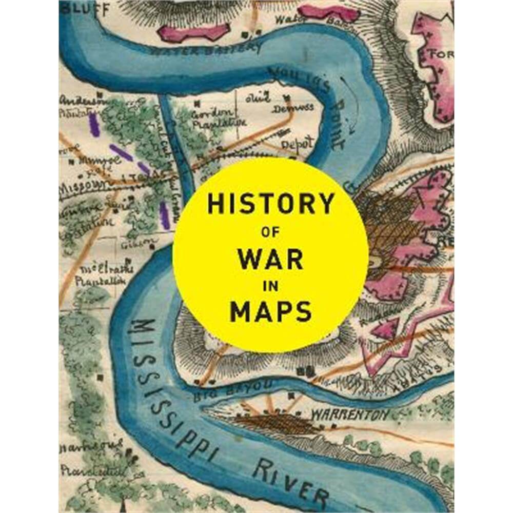
From the moment towns and cities arose, the struggle for land, resources and power has turned to violence. Almost from the start, maps have been an essential part of planning and waging war. History of War in Maps gives a unique visual representation of the development of warfare and the maps that have helped shaped our history.
From the moment towns and cities arose, the struggle for land, resources and power has turned to violence. Almost from the start, maps have been an essential part of planning and waging war. History of War in Maps gives a unique visual representation of the development of warfare and the maps that have helped shaped our history.
Each map in this beautifully designed volume plays a crucial role. While countless campaign strategies have relied on detailed and accurate mapping, entire wars have been fought over the maps themselves, with hopes of redrawing boundaries and redefining nations. Spanning more than 2,000 years, this book expertly curates more than 70 historical maps which tell the fascinating story of war: from ancient and medieval warfare to modern-day global conflicts.
Featuring maps of historic battles such as:
* Battle of Marathon, 490 BC
* Battle of Hastings, 1066
* Battle of Crecy, 1346
* Battle of Lutzen (Thirty Years' War), 1632
* Battle of Saratoga, 1777
* Battle of Austerlitz, 1805
* Battle of Balaklava (Crimean War), 1854
* Siege of Vicksburg, 1863
* Battle of Isandhlwana (Anglo-Zulu War), 1879
* Battle of Spion Kop (Anglo-Boer War), 1900
* Gallipoli campaign, 1915
* D-Day, 1944
* Operation Desert Storm, 1993
About the Author
A historian and Sunday Times bestselling author with The Northman's Fury, who studied at Cambridge and Johns Hopkins University.
He has written widely on late antiquity, the early Middle Ages and world history, and his unique panoramic history of the nation was published by Collins: History of Britain in Maps.
He lives in London.
- Contributors:
- Philip Parker, Collins Books
- Imprint:
- Collins
- Publisher:
- HarperCollins Publishers
- Release Date:
- 15 Sep 2022
- Number of Pages:
- 224
- Binding:
- Hardback
- ISBN13:
- 9780008506490
Delivery
Options to suit you
At Jarrolds we want to ensure you get your order in the most convenient way for you, so we offer..
- Free standard delivery on most orders over £50*
- Express and Nominated options from £5.95*
- Free click and collect from our stores for many items
Help & Advice
Need extra help?
We're always happy to answer any questions or queries you might have, please get in touch using one of the methods below.
- Live chat
Monday to Friday (between 9.00am - 5.30pm) - Call us - 01603 660 661
- Email us here
Returns
How to return a purchase
At Jarrolds we want to ensure you're delighted with your order so if for any reason you are unhappy with your purchase, you can return most items to us in new and unused condition within 30 days of receiving them for a full refund*.